

IOF-map commission carefully examines WMOC-maps
With the Czech Ales Hejna a member of the map commission of the International Orienteering Federation IOF visited the Harz Mountains where next year’s WMOC will take place. Hejna particularly examined the interpretation of contours and rocks. The participants will come across many rock formations in the competition area, especially during the long-distance qualification (LQ1) and the long-distance final (LF).
The visit was set up at the request of British Senior Event Advisor David May who wanted to make sure that the participants can adjust themselves to a uniform map interpretation. Because the competition areas of LQ1 and LF offer different rock formations and were surveyed by different mappers May wanted the opinion of an expert who takes a closer look at the competition area and the maps.
Hejna confirmed that the organizers are well on their way. “I really like the competition area”, the 33-year old said and also checked out the sprint maps. He also acknowledged the good work of the mappers Stephan Schliebener and Thilo Bruns. Only the laser scanning data has to be added into the maps for the LQ1 area so the interpretation is more detailed especially with the difficult contours. This data has only been accessible for a short time.
Of Pilsen-origin, Hejna started mapping when he was 16. Although he is an economist he works as a professional mapper and is a member of the IOF-map commission with seven members on the panel.
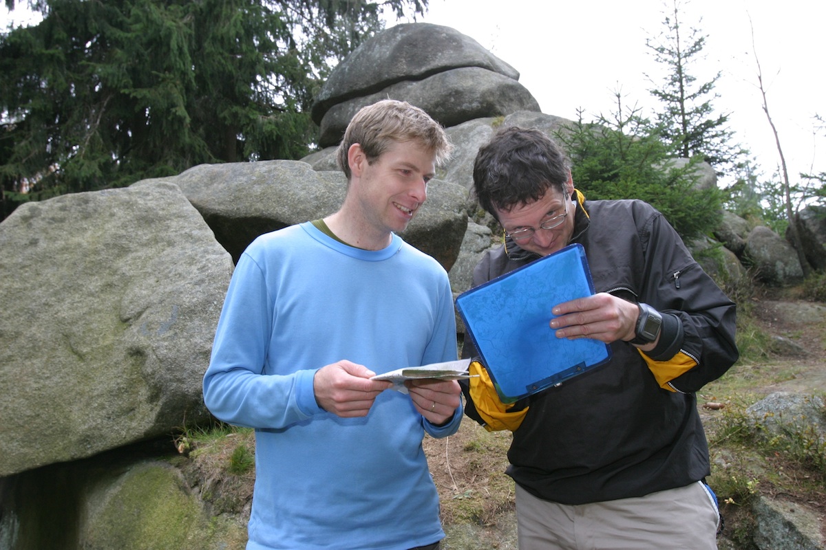
Photo: Ales Hejna, member of the IOF map commission (left) and mapper Stephan Schliebener check out the rocks in the competition are for the long distance final.