

World championships from a new perspective
 Who has never wished to see the competition area from above? To have a point of view that shows control points at once and clearly differentiates peculiar kinds of terrains. Or to watch the runner who started earlier and thus find the optimal course to the next control.
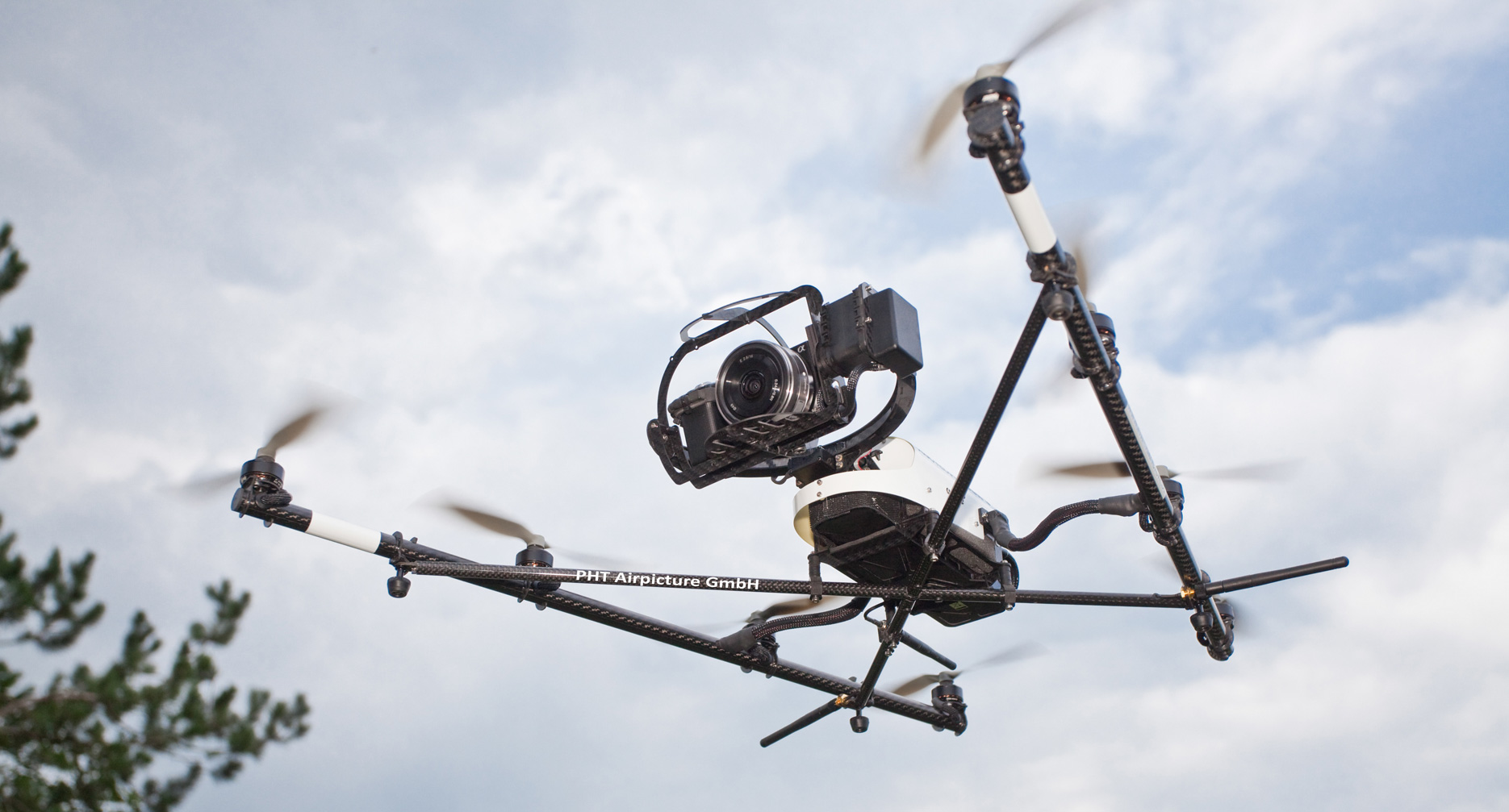
Exactly that point of view is going to be provided on Saturday for the long-distance finals. Professional aerial photos will be taken at the competition using modern photo and video drones. That innovative service is offered by the company “PHT Airpicture GmbH – Video- und Luftbildtechnik Michael Mehle”. The innovative point herein is the use of unmanned drones that are led to their destination by coordinates sent from the ground. Therefrom they send high resolution pictures in best quality. The already broad spectrum of uses for the technology is enlarged by the production of pictures for orienteering. Until now it helped to shoot scenes for film and TV. Communities order aerial pictures of certain construction sites for bigger building projects. Besides, the drones are called for whenever estate agents need representative pictures of premises.
Perhaps it is possible to gain new insights in orienteering through this technology. Surely interesting aerial photographs will result.